
Interactive Tool
PFAS Mapping Dashboard
Explore predicted PFAS contamination risk across surface waters through an interactive geospatial dashboard.
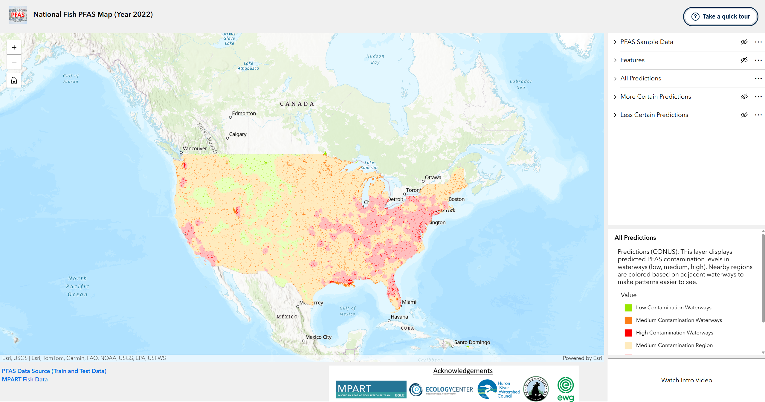
Explore PFAS risk spatially
The PFAS Mapping Dashboard provides an interactive view of predicted contamination risk across surface waters. It allows users to explore spatial patterns, identify areas of elevated predicted PFAS risk, and examine locations that may warrant additional environmental sampling.
Interactive mapping
Explore predicted PFAS risk across geographic regions through an interactive geospatial interface.
Environmental context
Examine model predictions alongside remote sensing, hydrologic information, land cover, and proximity to potential PFAS sources.
Sampling support
Identify spatial patterns and areas of elevated predicted risk that may benefit from additional environmental sampling.